Western Colorado’s Best Hikes: The Grand Mesa’s Trail to Lost Lake
Hiking in the Grand Valley features a ton of high desert landscapes as well as conditions. While we love these trails, did you know there are places you can near Grand Junction go to see a totally different set of surroundings?
Head up the Grand Mesa for hikes that feature the amazing Grand Mesa National Forest and some of the clearest mountain lakes you'll find in Mesa County.

How Long Does It Take to Hike into Lost Lake?
The hike is about a 3-mile round trip. The temps are cooler on the Grand Mesa and the trails are often shaded by heavy trees. You should be able to reach the Lost Lake from the Glacier Springs parking area in under an hour.
What is the Elevation of Lost Lake?
The elevation of Lost Lake is around 10,100 feet. It sits just below the rim of the Grand Mesa. The beginning of Lost Lake trail starts out at about 9900 feet. The hike is a gradual incline without much difficulty. The mosquitos will be your biggest obstacle on this one.
Do I Have to Pay A Fee to Enter the Mesa Lakes Day Use Area on the Grand Mesa?
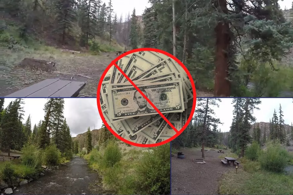
There is a $6 charge to enter the Mesa Lakes day-use area. It is totally worth it! However, if you want to skip the fee, simply park at the Jumbo Reservoir near the entrance to Mesa Lakes and hike the trails towards Mesa Lake. Once you arrive, move on to Lost Lake.
Western Colorado's Best Hikes: The Grand Mesa's Trail to Lost Lake
Gallery Credit: Wes Adams
MORE HIKING: The Fun Trail to Miracle Rock in Glade Park, Colorado
Gallery Credit: Wesley Adams
MORE HIKING: 5 Hikes that are Perfect for Colorado History Buffs
Gallery Credit: Kelsey Nistel
More From 103.7 The River


