One of the Steepest Highways in America is Right Here in Colorado
Some of Colorado's mountain passes can involve a pretty steep ascend to the top. It's one of the thrills of driving through the Rocky Mountains. Just how steep is Colorado's steepest road, and just how high does it go?
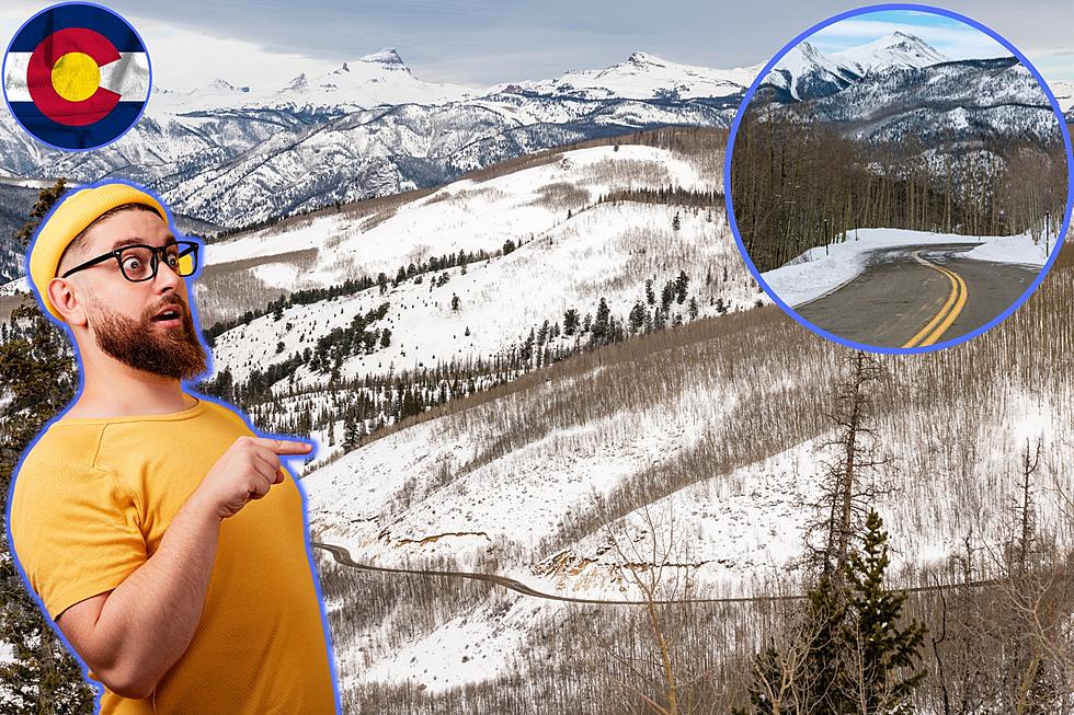
Get ready to climb to 11,500 feet as we take a closer look at Colorado's Highway 149 in Hinsdale County. This highway travels from the Curecanti National Recreation Area to South Fork Colorado, and includes a climb over the infamous Slumgullion Summit.

America's 5 Steepest Highways
- California Route 108 over the Sonora Pass includes a max grade of 26%
- Texas 170 around Big Bend Ranch State Park includes a max grade of 15%
- Utah Route 143 from Parowan to Panguitch includes a 13% grade around Brian Head Ski Resort.
- Wyoming Route 14 in Shell Canyon includes a max grade of 13.5%
- Colorado 149 over Slumgullion Summit includes a max grade of 9.5%
Colorado's Steepest Highway
Colorado 149 is also known as the Silverthread Scenic Byway. This 125-mile run through the San Juan Mountains and the Rio Grande National Forrest includes a climb up one of Colorado's oldest mountain roads. This seven-mile ascent tops out at 11,500 feet and includes a few scenic overlooks and a natural landmark. Take a closer look at Colorado's steepest highway below.
Slumgullion Earthflow
Near the top of the climb up the Slumgullion summit is the Slumgullion Earthflow overlook. Nearly 800 years ago a portion of the Mesa Soca collapsed causing an earthflow that ended up damning the Lake Fork of the Gunnison and forming Colorado's second-largest lake, Lake San Cristobal. The earthflow is still moving today at the rate of about 20 feet per year. The area is now a national landmark. Hikers and visitors can sometimes say they feel the earth move under their feet.
Colorado's steepest road is a pretty fascinating place if you can stand the climb. Take a closer look below.


